 Sandra Park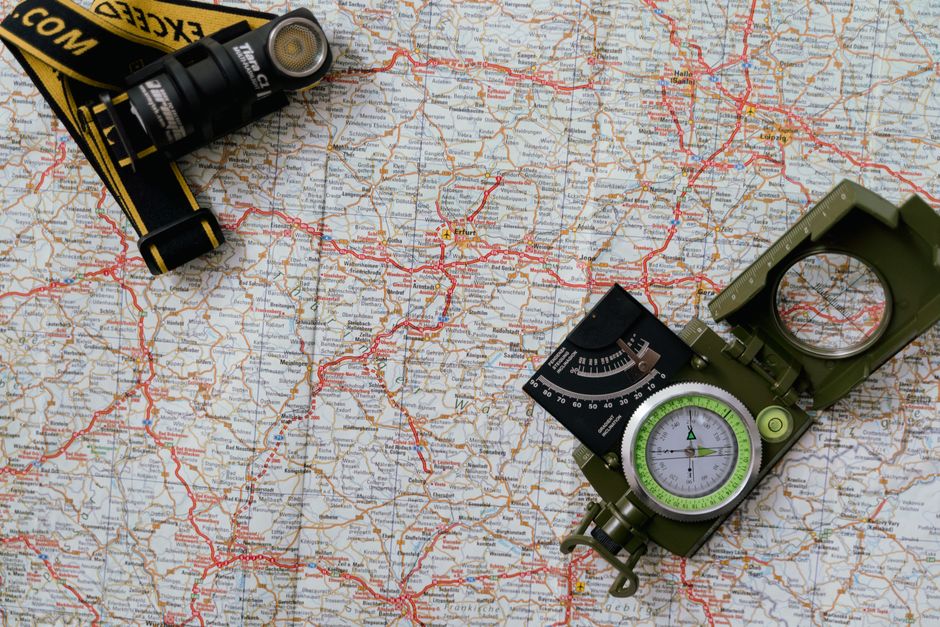
I’ve downloaded at least forty apps chasing free camps over eight years. Most are garbage. A few changed how I travel entirely.
If you’re reading this, you’re probably in one of two places: either you just started living in your rig and someone in a Facebook group told you “just use Campendium” without explanation, or you’ve been at this long enough to know the big reservation sites are mostly paid and you’re hunting for what else exists. Either way, you need a system, not just a list of app names. Here’s what I tell people when they ask me in person.
This decision matrix scores the major free camping apps across the criteria that actually matter for finding legitimate dispersed sites.
| App | Best For | Dispersed/BLM Coverage | Review Recency | Offline Maps | Rig Size Filters | Cost | Key Limitation |
|---|---|---|---|---|---|---|---|
| Freecampsites.net | Dedicated boondockers in US West | Excellent | Good (sortable) | No | In reviews only | Free | Outdated UI; no trip planning |
| iOverlander | Van lifers; Mexico/Canada crossings | Good | Variable | Yes | No | Free | US rural areas thin; international focus |
| Campendium | RVers wanting cell signal data | Good | Good | Pro only ($30/yr) | Yes | Free/Pro | Best features paywalled |
| The Dyrt | Mixed free/paid site hunters | Fair | Good | Pro only ($36/yr) | Yes | Free/Pro | Heavily weighted toward paid campgrounds |
| US Public Lands (USFS/BLM) | Verifying official land status | Authoritative | N/A | Partial | No | Free | No user reviews; steep learning curve |
| Gaia GPS / OnX | Finding unmarked dispersed roads | Land ownership only | N/A | Yes | No | $20-40/yr | Shows where, not if camping allowed |
General information for comparison, confirm specifics for your situation.
The App That Actually Changed My Routing
Freecampsites.net exists as a website, but I live in the app. It’s not beautiful. The UI looks like nobody’s touched it since 2014, and honestly that might be true. But the data is community-sourced and genuinely extensive, covering dispersed camping on BLM land, National Forests, and the weird stuff that doesn’t show up anywhere else. A pull-out on some county road in New Mexico that fits a 34-foot fifth wheel with room to spare, for example.
Here’s my process: before I leave a spot, I punch in my next destination and spend fifteen minutes reading reviews sorted by recent. The date matters enormously. A spot reviewed in 2019 might now have a gate, a fee, or a fire closure. I’ve rolled up to three spots like that. Now I sort by recency and won’t trust anything older than about eight months without cross-referencing somewhere else.
Most people don’t realize that Freecampsites.net also lists Harvest Hosts and Boondockers Welcome spots. You see them on the map but need a membership to access details. That’s not a flaw. It just gives you a sense of density and options before you commit to a membership you might not want.
iOverlander and The Crowd It Attracts
Why does iOverlander keep showing up in van life communities? Its user base skews heavily toward overlanders and international travelers, which means the data quality in the American West and border regions is really strong. Genuinely excellent for the Southwest, Baja, and anywhere you’re in a 4WD van or small rig.
I wouldn’t use it as my primary app in a 36-foot Class A. That’s a real limitation. The filters aren’t set up well for length restrictions. But for smaller rigs, the reviews include genuinely useful notes like “rutted road past the turnoff, high clearance needed” or “lots of ATV traffic on weekends, noisy.” That’s the thing that saves you a miserable night.
Free to download. Free to use. No paywall.
The One Worth Paying For
The Dyrt PRO costs $35.99 a year right now, and I’ll say plainly: it’s worth it if you’re doing this full-time or even half-time.
The free version is a solid campground discovery tool. The PRO version is a different animal. The offline maps are why I pay. I travel in Wyoming, Montana, and northern Nevada regularly, and cell service in those areas isn’t something you can plan around. Having fully loaded offline maps with user reviews cached before I lose signal has gotten me into free camps I never would’ve found otherwise.
The Trip Planning feature also works. You map a route and see camps along it, which sounds gimmicky but actually changes how I structure my driving days. Instead of “I need to get from Moab to Grand Junction and then figure out where to sleep,” I plan the whole stretch and slot in a camp at the 200-mile mark without improvising at 4 PM when I’m exhausted.
The catch: a lot of what shows up in searches includes paid campgrounds, and the sorting doesn’t always float free options to the top. You have to filter by “free” and cross-reference with reviews to confirm that’s still accurate. Prices change. Fees get added. I treat The Dyrt as discovery and verify before I commit.
Campendium Is Underrated for One Specific Thing
Campendium gets recommended constantly, and it’s a good app. The reviews are thorough. The cell signal reports actually matter (they show AT&T, Verizon, and T-Mobile signal reported by actual campers). The photos are better than competing apps. If you work remotely like I do, those signal reports are the difference between a productive work week and driving twenty miles to park outside a Starbucks.
Where Campendium falls short: density of listings in the Southeast and Midwest. Western data is strong. Southern data is thin in places. I’ve had better luck using it alongside Freecampsites.net rather than choosing one.
Also worth knowing: you can access Campendium fully from a browser. If you hate downloading apps, campendium.com works just as well without taking up phone space.
BLM and National Forest Land: The Map You Actually Need
No single app covers BLM and National Forest dispersed camping the way the land agencies’ own tools do.
The BLM has MyBLM Lands, and the USFS has the Motor Vehicle Use Maps (MVUM) available through the USDA Forest Service website and through an app called Avenza Maps. Neither is intuitive. Both take time to learn. But they’re authoritative. If an MVUM shows a road open to motor vehicles, you can legally camp 150 feet off that road without a permit in most forests. That’s dispersed camping, and no commercial app tracks it comprehensively.
My workflow when I’m going deep into National Forest land: download the MVUM onto Avenza before cell range disappears, then cross-reference with iOverlander or Freecampsites.net for specific spots other campers have used. Official road data plus community experience gives you something no single app can.
Avenza is free to download with a limited number of free maps. The maps themselves are free from the USDA. Slightly clunky process but worth it.
A Word About Apps That Are More Marketing Than Tool
Here’s the blunt truth: Harvest Hosts and Boondockers Welcome are membership programs, not free camping apps, and they sometimes get lumped into “free camping app” lists in a misleading way. Harvest Hosts costs $99 a year and gets you access to wineries, breweries, farms, and attractions that let you overnight for free. It’s genuinely good. I’ve had beautiful nights at a lavender farm in Oregon and a working vineyard outside Walla Walla, Washington. But it’s not free, and it’s not dispersed camping.
Boondockers Welcome ($30 a year) connects you with private homeowners who have RV space. Also worthwhile. Also not free.
Know what you’re signing up for before you hand over a credit card.
The Underused Government Resources
Sources
- Tima Miroshnichenko
- gotten me into free camps I never would’ve
- is community-sourced and genuinely extensive
- quality in the American West and border regions is really strong
- is thin in places
Recreation.gov covers National Park campgrounds, most with fees. But it also lists some first-come, first-served sites at smaller areas that people don’t know about. Not free, but often $5 to $10 a night, which starts to matter when you’re budgeting $600 to $800 a month for all campsite costs like I was my first two years out.
For genuinely free federal land camping, don’t skip the BLM’s own website before you start an app search. Go to blm.gov, find the state office for wherever you’re headed, and look for their camping or recreation page. I found a stunning pullout spot on BLM land outside Escalante, Utah this way, no app involved, just a PDF map from the Escalante field office. It’d been free for years, had a rock fire ring, and I still think about the canyon view.
The honest truth is that no single app does everything, and experienced full-timers typically use two or three in combination. Start with Freecampsites.net because it’s free and comprehensive, add The Dyrt PRO once you’re sure this lifestyle is sticking, and download Avenza Maps with the MVUM for any national forest you’re planning to spend time in. That trio covers about 90% of what you need.
The rest you learn by showing up, reading the road, and occasionally pulling into a spot you’re not sure about and finding out it’s perfect.
Photo: Tima Miroshnichenko via Pexels